By Hasan Akbas · Landscape Photographer & Alaska Tour Host
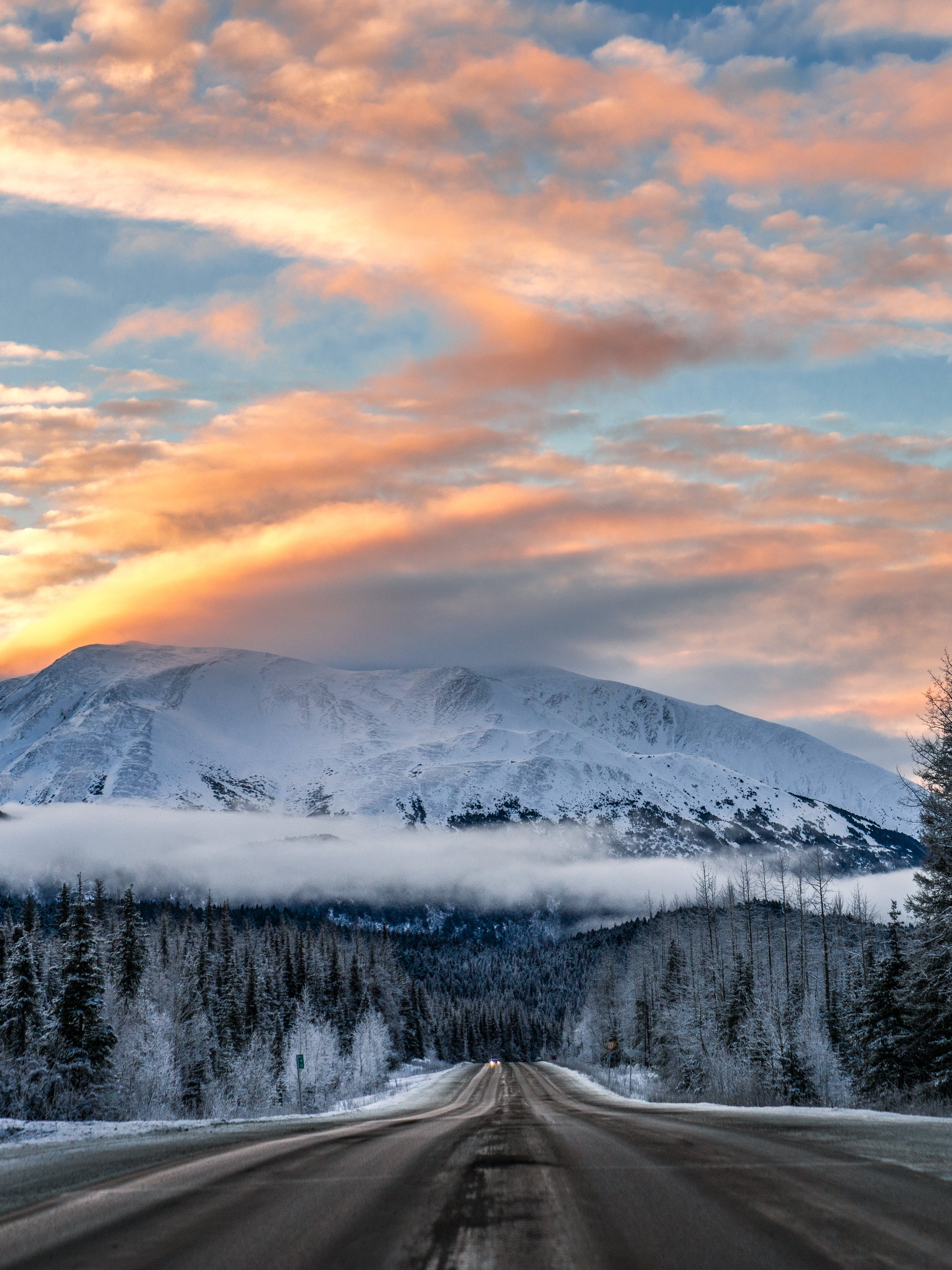
I have driven the Seward Highway more than a hundred times. I drove it in September when the birch forests were burning gold. I drove it in February at -15°F when the Turnagain Arm was frozen solid and a group of Dall sheep stood on the ridge above the road like they had been placed there. I drove it in March in a snowstorm that turned the windshield into a moving painting.
The Seward Highway between Anchorage and Seward has been designated an All-American Road by the U.S. Department of Transportation — one of only 41 roads in the country to receive that designation. To qualify, a road must have multiple intrinsic qualities that make it a destination in itself, not just a route between destinations. The Seward Highway qualifies several times over.
Seward harbor and Resurrection Bay © Hasan Akbas
Turnagain Arm: The First 40 Miles
The drive begins as you leave Anchorage heading south and the road suddenly has water on one side and cliffs on the other. This is Turnagain Arm — the tides here rise and fall up to 38 feet, the second largest tidal range in the world. At low tide, the arm is almost empty, a vast expanse of grey silt. At high tide, it fills entirely. Between the tides, a bore tide sometimes forms — a wave that moves up the arm as the tidal waters rush in. It can be four to six feet high.
Beluga whales pass through the arm seasonally, visible from the road in a way that is startling until it becomes normal. Dall sheep inhabit the mountain faces above the highway. Bald eagles perch in the cottonwoods near the waterline. For photography, the north-facing mountain walls above Turnagain Arm hold snow through early spring and the reflected light in the water during golden hour is exceptional.
Portage Glacier and Portage Lake
At the far end of Turnagain Arm, a road turns off toward Portage Valley. This valley was destroyed by the 1964 Good Friday Earthquake — magnitude 9.2, the largest earthquake ever recorded in North America — which caused the ground to drop six feet and allowed saltwater to flood the valley. The dead trees are still there, standing in the lake, bleached white, their root systems preserved in the cold water for sixty years.
Portage Lake sits in front of Portage Glacier. Icebergs calved from the glacier float in the lake, impossibly blue against the grey water. In winter, the lake partially freezes around them. I photograph Portage Lake on every tour — the combination of the dead trees, the floating ice, and the glacier in the background is one of the more compositionally complete landscapes in Alaska.
Through the Mountain: The Anton Anderson Tunnel
From Portage Valley, we drive into the mountain. The Anton Anderson Memorial Tunnel is 2.5 miles long, bored through solid granite of the Chugach Mountains, and it is the longest highway tunnel in North America. It was originally built during World War II as a rail tunnel — Whittier was a strategic military port, hidden behind the mountain. You enter the tunnel, drive through two and a half miles of rock, and emerge in Whittier — a town that was invisible from the world you came from.
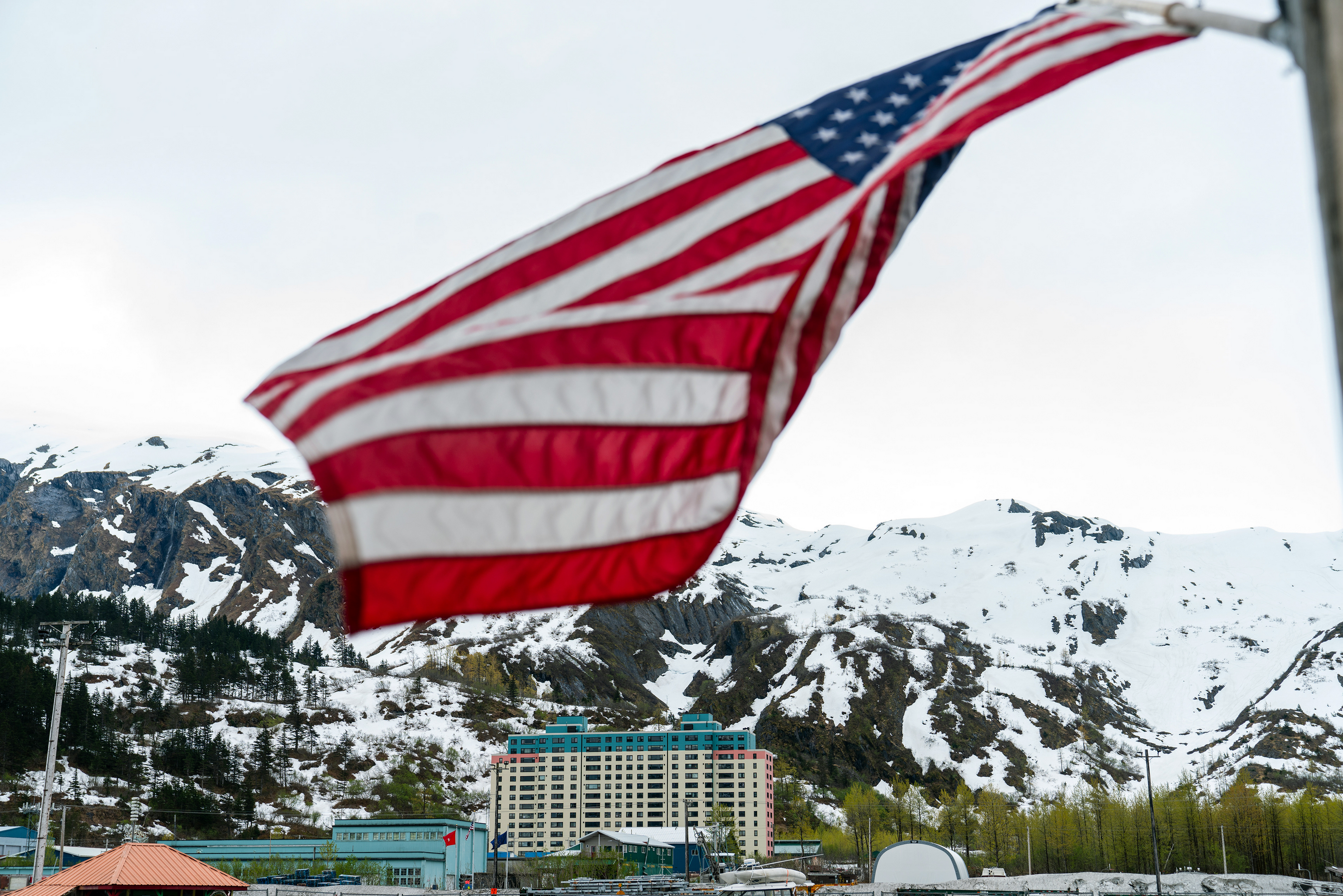
Whittier — Prince William Sound, Alaska © Hasan Akbas
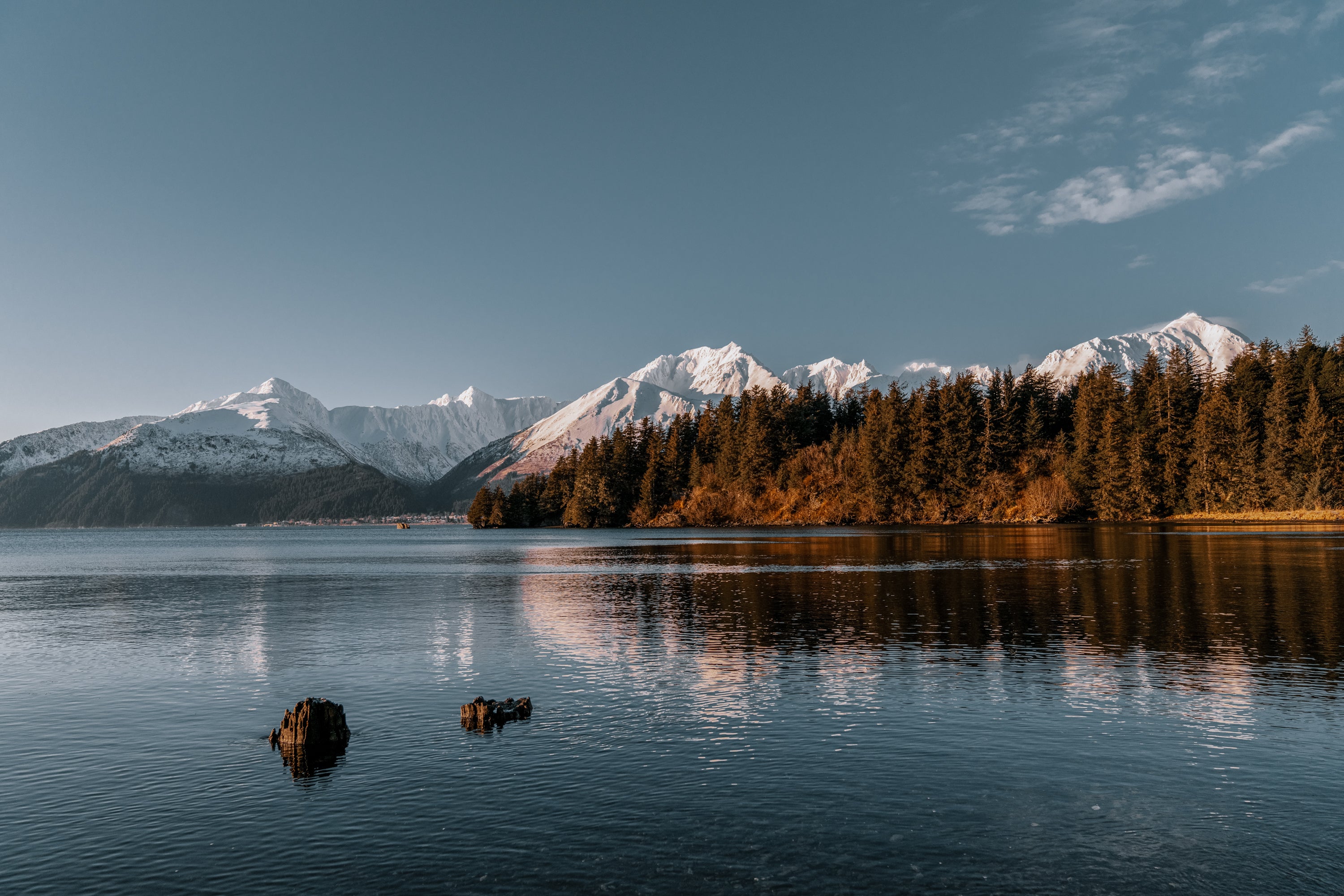
Seward and Resurrection Bay
The highway continues south to Seward, arriving at the edge of Resurrection Bay — a deep fjord that opens into the Gulf of Alaska. The mountains around Resurrection Bay come straight down to the waterline with almost no transition, and the scale — mountains this close to ocean — is specific to this coastline. On the return north, on nights when the KP index has been rising since afternoon, the sky above the northern horizon sometimes shows the first faint green of the aurora before we’ve even reached Anchorage.
What to Photograph on the Seward Highway
Turnagain Arm: Shoot toward the water from elevated pullouts. The compression of mountain, water, and opposite shore creates a layered landscape.
Portage Lake icebergs: Get low — water level if possible. A CPL filter reveals the blue inside the ice by cutting surface reflection.
Whittier harbor: Best at dawn or dusk. In winter, the ice in the harbor catches light differently depending on thickness.
Seward harbor: Wide angle captures the full relationship between the harbor, the boats, and the encircling mountains.
Alaska Northern Lights Tour — Day 3
Day 3 covers this entire route — Portage Glacier, Portage Lake, Whittier via the tunnel, and Seward — in a private heated sprinter van. All included. Maximum six guests per departure.
View Departure Dates →

